Most visitors to Oʻahu see three places: Waikīkī, Pearl Harbor and a single drive round the North Shore. Meanwhile, a ten-minute bus ride from their hotel, Kaimukī’s bakeries are selling out, Chinatown’s lei sellers are threading plumeria, and families in Waiʻanae are setting up tents for a Saturday at Pōkaʻī Bay. The honolulu neighborhoods and Oʻahu towns beyond Waikīkī are where the island actually lives, and they are almost entirely missing from travel guides, which is odd, because most of them are easy to reach and several are genuinely wonderful.
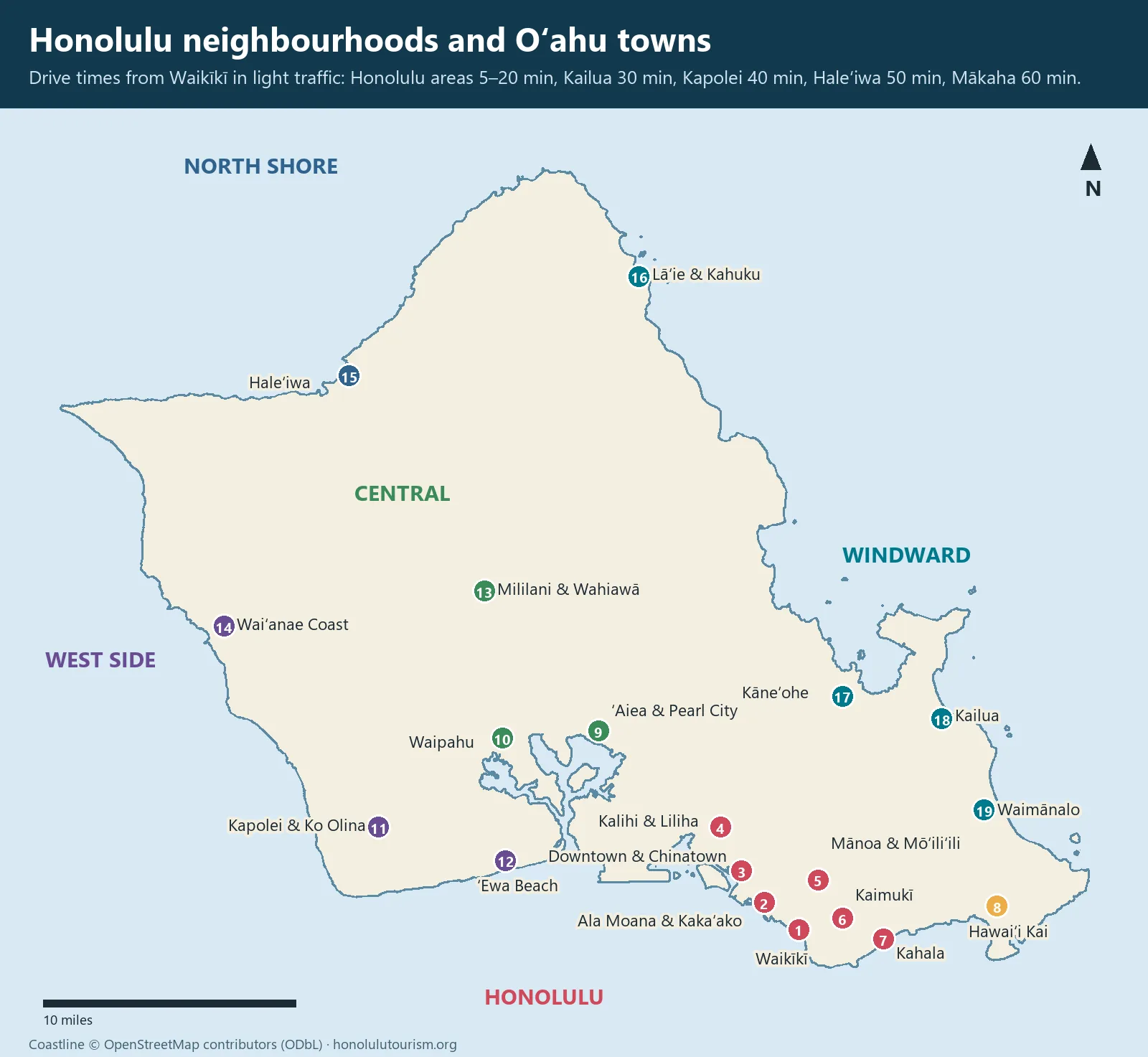
This guide covers 21 neighbourhoods and towns across the island, from the urban core of Honolulu to the North Shore, windward coast and west side. For each, it gives the feel of the place, what is worth doing, how long it takes to get there from Waikīkī, bus or rail access, and who it suits. It starts with a comparison matrix and an important fact about where visitors can legally stay, because that changes how you use this guide.
A current note: Hurricane Lowell brought flooding and closures in early September 2026. Farrington Highway, the only road along the Waiʻanae Coast, reopened on the evening of 8 September. Some parks and viewpoints, including parts of Kaʻena Point State Park, remained closed in mid-September. Check the state and city updates before visiting specific parks.
First, where visitors can legally stay
On Oʻahu, holiday rentals of less than 30 days are legal only in resort-zoned areas, which in practice means Waikīkī, Ko Olina and Turtle Bay (Kuilima), plus a limited number of properties elsewhere that hold a Nonconforming Use Certificate, and some grandfathered hotel buildings. The city tried to raise the minimum stay outside resort areas to 90 days in 2022; a federal court blocked that change, so 30 days is the rule in 2026.
What that means: most of the neighbourhoods in this guide are places to visit, eat and explore, not places to book a week’s stay. If you find a cheap “Kailua beach house” for five nights, check that it has a valid certificate, or you risk a cancelled booking and, more importantly, you are taking housing from local families. Our where to stay on Oʻahu guide covers the legal options in detail.
Honolulu neighborhoods at a glance: the comparison matrix
| Neighbourhood | Vibe | Staying there | From Waikīkī | Bus or rail | Best for |
|---|---|---|---|---|---|
| Waikīkī | Dense resort district | $$–$$$$, most hotels | — | Excellent | First-timers, no car |
| Ala Moana and Kakaʻako | Malls, murals, new towers | Few hotels | 5–10 min | Excellent | Shopping, beach park, food |
| Downtown and Chinatown | Historic, gritty, lively at night | Very few | 15 min | Good | History, dinner, markets |
| Kalihi, Liliha and Nuʻuanu | Working-class, residential | None | 15–20 min | Good | Bishop Museum, local food |
| Mānoa and Mōʻiliʻili | University, green valley | None | 10–15 min | Good | Rainforest walks, students’ food |
| Makiki and Tantalus | Hillside homes, forest | None | 15–20 min | Limited | City views, trails |
| Kapahulu and Kaimukī | Food streets, old Honolulu | None | 5–10 min | Good | Eating |
| Kahala and East Honolulu | Affluent, suburban | One luxury hotel | 15–20 min | Fair | Quiet beaches, ridge hikes |
| Hawaiʻi Kai | Marina suburb | None | 25 min | Fair | Hanauma Bay, Koko Head |
| Salt Lake and Moanalua | Suburban | None | 20 min | Fair | Moanalua Valley hike |
| ʻAiea and Pearl City | Suburban, shopping | Few | 25–30 min | Good (Skyline) | Pearl Harbor, ʻAiea Loop |
| Waipahu | Plantation town heritage | None | 30 min | Good (Skyline) | Plantation history |
| Mililani and Wahiawā | Central plateau towns | None | 35–40 min | Fair | Passing through to the North Shore |
| Kapolei and Ko Olina | Planned city, resorts | $$$–$$$$, resort-zoned | 40 min | Fair (Skyline to Kapolei) | Families, calm lagoons |
| ʻEwa Beach | Suburban | None | 40 min | Fair | Local beach life |
| Waiʻanae Coast | Rural, Native Hawaiian heartland | Very few | 50–60 min | Fair | Beaches, culture, sunsets |
| Haleʻiwa and North Shore | Surf town, rural | Resort-zoned Turtle Bay; limited others | 50–60 min | Fair (Route 60) | Surf, summer snorkelling |
| Lāʻie, Hauʻula and Kahuku | Small towns, church, farms | Few | 60–75 min | Fair (Route 60) | Polynesian Cultural Center, shrimp |
| Kāneʻohe | Windward suburb, bay | Few | 30 min | Fair | Byodo-In, the bay |
| Kailua and Lanikai | Beach town | Limited, check certificates | 30 min | Good (Route 67) | Beaches, kayaking |
| Waimānalo | Rural, Hawaiian homestead community | None | 35 min | Fair | Long quiet beaches, farm stands |
Drive times are from central Waikīkī in light traffic. At weekday rush hours (roughly 6am–9am towards town and 3pm–6pm away from it), times to the west side, central Oʻahu and ʻAiea can double. TheBus fares are $3.25 in cash, with no transfers; a HOLO card caps your spending at $7.50 a day. Skyline rail uses the same fares and runs from 4am to 10:30pm daily.
Honolulu’s urban core
Waikīkī
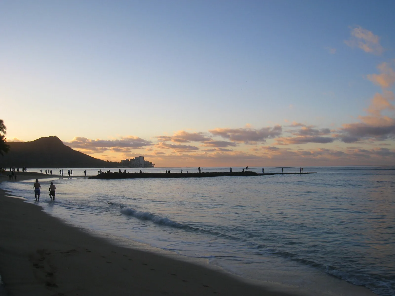
Once a wetland of taro fields and fishponds, and a playground of Hawaiian royalty, Waikīkī is now a dense strip of hotels, shops and restaurants along two miles of beach. It is the only neighbourhood where most visitors should stay without a car: nearly everything in this guide is reachable from it by bus. It is crowded, expensive and, in places, bland, but it also has real history, excellent surf lessons, free hula on Saturday evenings and the best-organised beach in the state. Our Waikīkī Beach guide covers it section by section.
Budget for the extras: resort fees typically run $50–60 a night, and hotel parking can add $45 or much more. Since October 2025, the W Line bus connects the airport’s Skyline station to Waikīkī for a single $3.25 fare.
Cost: hotels $$–$$$$ plus resort fees · Bus: the hub for most visitor routes · Allow: your base
Ala Moana and Kakaʻako
Just west of Waikīkī, Ala Moana Center is the biggest shopping mall in Hawaiʻi, open from 10am to 8pm, with a big food hall and a Foodland Farms supermarket. Across the road, Ala Moana Beach Park is where Honolulu families swim, picnic and paddle, with a long, calm, reef-protected beach and Magic Island’s lagoon at its eastern end. The park closes from 10pm to 4am.
Kakaʻako, a former warehouse district between Ala Moana and downtown, has been transformed by new towers and the Ward Village development. Its streets are covered in large murals, many painted during the annual POW! WOW! Hawaiʻi street-art festival, and it has breweries, cafés and restaurants including Merriman’s and Highway Inn. Kakaʻako Waterfront Park has sunset views and a sometimes-surfable shoreline. Skyline rail does not reach Kakaʻako or downtown yet; its final segment is projected to open in 2031.
Cost: free to explore · Hours: Ala Moana Center 10am–8pm; beach park closed 10pm–4am · Bus: most TheBus routes pass Ala Moana Center · Allow: half a day
Downtown and Chinatown
Downtown Honolulu is the seat of state government and the setting for the most important historic sites in the islands: ʻIolani Palace, the King Kamehameha statue, Kawaiahaʻo Church and the Hawaiʻi State Capitol. The Hawaiʻi State Art Museum, in a restored Spanish Mission-style building, has free admission and a strong collection of work by island artists. Aloha Tower, once the tallest building in Hawaiʻi, stands at the harbour.
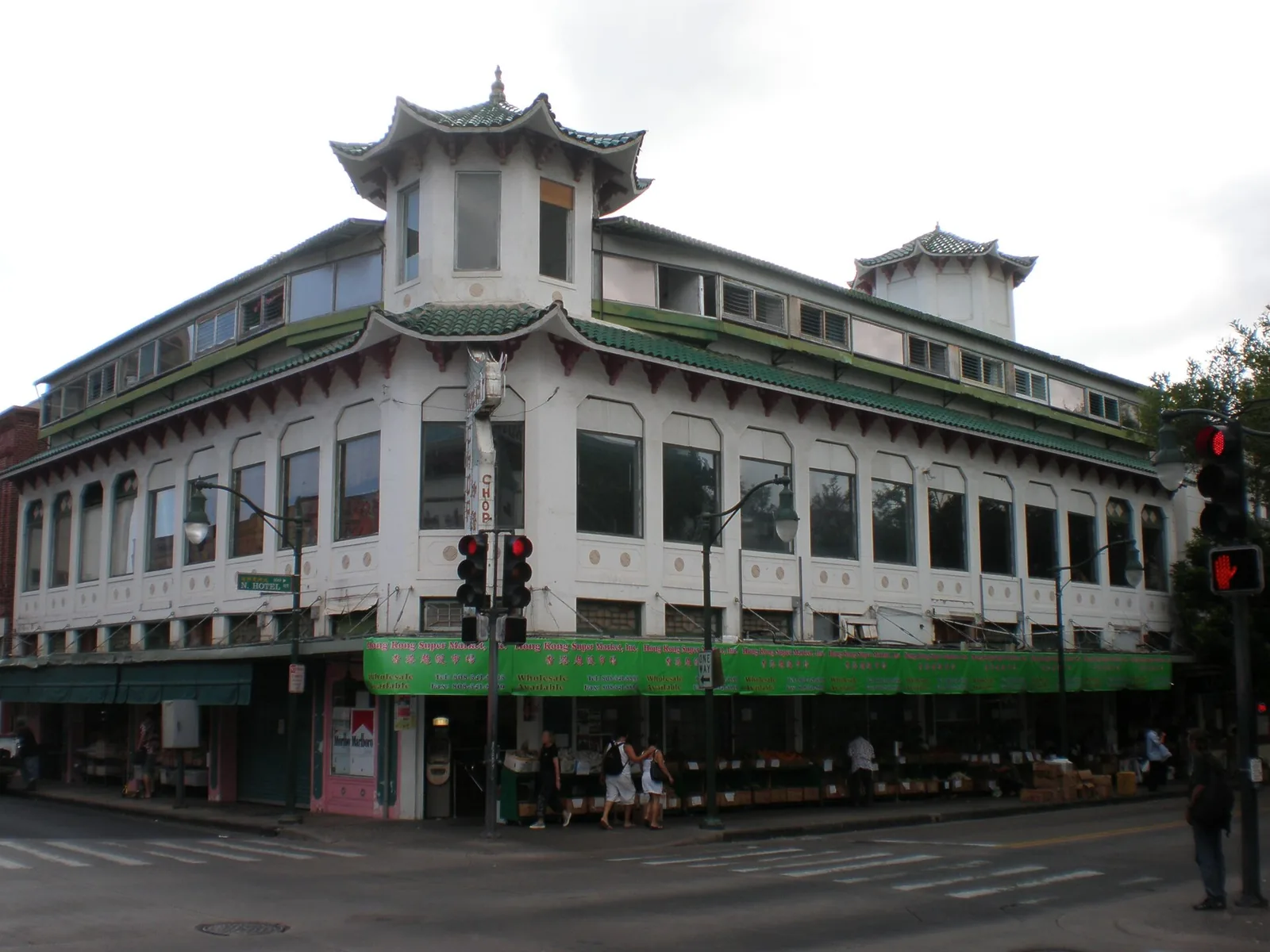
Chinatown, beside it, is one of the oldest Chinatowns in the United States. By day, it is a market district of fish counters, noodle factories, herbalists and lei stands on Maunakea Street. By night, it becomes Honolulu’s most interesting place to eat and drink. The First Friday art walk, from 5pm to 9pm, is the liveliest evening; the next is on 2 October 2026. Foster Botanical Garden, on the edge of Chinatown, costs $5 for non-residents and is open from 9am to 4pm.
Chinatown has a visible homelessness problem and some quiet blocks late at night. It is not dangerous for visitors in the usual sense, but stick to busy, lit streets after dark, and take a rideshare back to Waikīkī. For the deeper history of this area, see our Hawaiian culture and history guide.
Cost: ʻIolani Palace $28–34; State Art Museum free; Foster Botanical Garden $5 · Hours: daytime for sights, evenings for food · Bus: Routes 2 and 13 along Hotel Street · Allow: a full day, or a morning and an evening
Kalihi, Liliha and Nuʻuanu
North and west of downtown, Kalihi and Liliha are working-class neighbourhoods, home to many Filipino, Samoan and other Pacific Islander families and some of Honolulu’s most important local institutions. The Bishop Museum, the world’s great museum of Hawaiian and Pacific culture, is in Kalihi. So are Helena’s Hawaiian Food, Liliha Bakery (open daily 6am to 10pm) and old-fashioned saimin counters. There is nothing touristy here, which is the point. Our Honolulu food guide covers the neighbourhood’s best places to eat.
Nuʻuanu, rising up the valley towards the Pali, is quieter and greener, with old estates, cemeteries and consulates. Queen Emma Summer Palace, the retreat of Queen Emma, is open from Wednesday to Saturday, 10am to 3:30pm, costs $20 and requires reservations. Mauna ʻAla, the Royal Mausoleum, is nearby.
Cost: Bishop Museum dynamic pricing; Queen Emma Summer Palace $20 · Bus: Route 2 to Kalihi, Route 13 to Liliha; Skyline’s Kahauiki station serves Kalihi Transit Center · Allow: half a day
Mānoa and Mōʻiliʻili
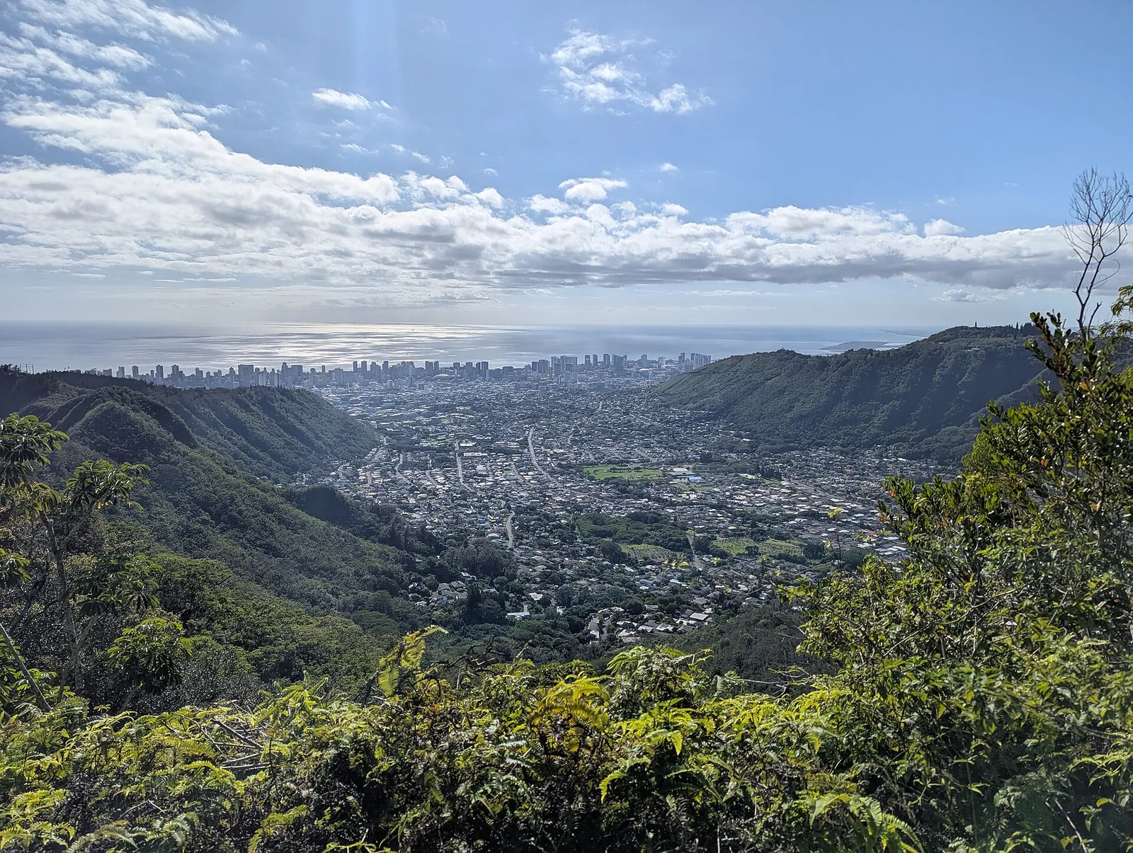
Mānoa is a deep, green, rainy valley behind Waikīkī, home to the University of Hawaiʻi’s main campus and some of Honolulu’s loveliest older houses. At the top of the valley, the Mānoa Falls trail climbs through rainforest to a tall, thin waterfall, with parking at about $7 a vehicle, and Lyon Arboretum next door is open on weekdays from 9am to 3pm for a suggested $10 donation.
Mōʻiliʻili, below the university, is a student neighbourhood of cheap restaurants, bars, record shops and Waiola Shave Ice. It is a good area for an unpretentious dinner.
Cost: free; Mānoa Falls parking about $7 · Hours: Lyon Arboretum Mon–Fri 9am–3pm · Bus: Route 5 from Ala Moana to Mānoa Valley; Route 13 to the university · Allow: half a day
Makiki and Tantalus
Makiki climbs the slopes above downtown into the forested heights of Tantalus (Puʻu ʻŌhiʻa). Round Top Drive and Tantalus Drive wind up through the trees to the Puʻu ʻUalakaʻa State Wayside, one of the best views over Honolulu, Diamond Head and Waikīkī. Its gate is open from 7am to 6:45pm until 31 March, then until 7:45pm, and non-residents pay $7 to park. The Honolulu Mauka Trail System starts from these roads.
Cost: $7 non-resident parking at Puʻu ʻUalakaʻa · Hours: gate 7am–6:45pm (to 7:45pm from 1 April) · Bus: not practical; drive · Allow: 2 hours
Kapahulu and Kaimukī
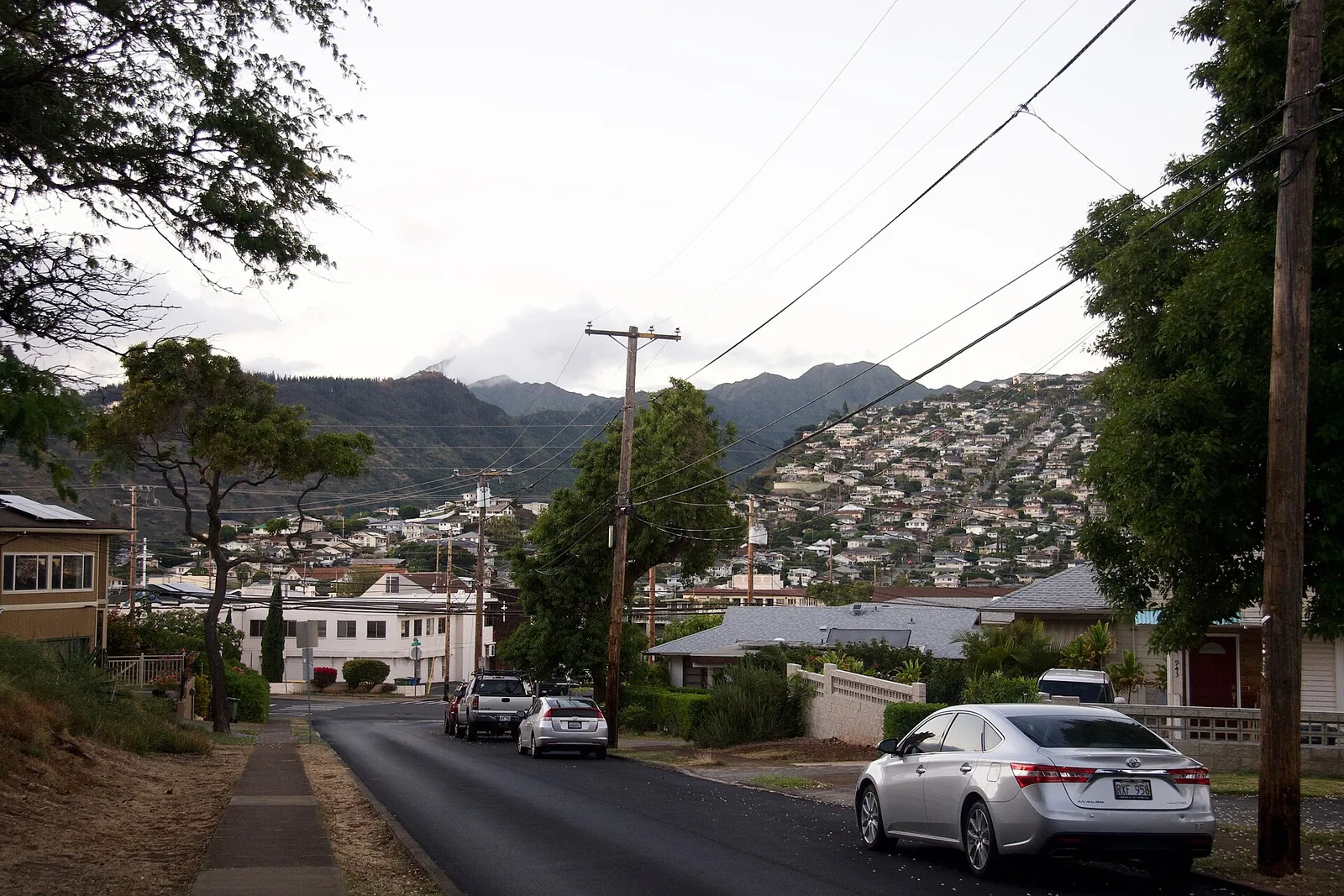
Kapahulu Avenue runs inland from the Diamond Head end of Waikīkī and is the best food street within walking distance of a Waikīkī hotel: Ono Seafood’s poke, Rainbow Drive-In’s plate lunches and Leonard’s malasadas ($2.25 each) are all here. Keep going uphill and you reach Kaimukī, a low-rise neighbourhood of independent shops and some of Honolulu’s best restaurants along Waiʻalae Avenue and 12th Avenue. On Saturdays, the KCC Farmers Market, at Kapiʻolani Community College on the slope of Diamond Head, runs from 7:30am to 11am.
These are the neighbourhoods we would send any food-focused visitor to first, and the easiest place to see how Honolulu people live day to day.
Cost: $ to $$$ to eat · Hours: KCC market Sat 7:30am–11am · Bus: Route 13 along Kapahulu; Route 2 to KCC · Allow: an evening, or a Saturday morning
Kahala and East Honolulu
Kahala, on the far side of Diamond Head, is one of Honolulu’s wealthiest neighbourhoods, with large beachfront homes, Kahala Mall and the Kāhala Hotel & Resort. Its beaches, reached by public access paths between houses, are quiet and shallow. Further east along Kalanianaʻole Highway, a string of valleys, including ʻĀina Haina, Niu and Kuliʻouʻou, climb into the Koʻolau mountains, with trailheads for some of Oʻahu’s best ridge hikes at the end of residential streets. Our Oʻahu hiking guide covers the Kuliʻouʻou and Wiliwilinui ridge trails. Park considerately; these are people’s homes.
Cost: free · Bus: Routes 2 and 23 towards Kahala · Allow: 2 hours to half a day
Hawaiʻi Kai
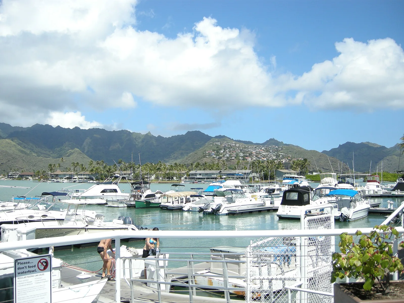
Built around a marina dredged from an old Hawaiian fishpond in the 1960s, Hawaiʻi Kai is a suburb of waterfront homes and shopping centres at the eastern end of Honolulu. It is the gateway to the island’s south-east corner: Hanauma Bay, the Koko Crater stairs, Sandy Beach (whose powerful shorebreak causes serious neck and spine injuries, and is for expert bodysurfers only), and the jet-ski and parasailing operators of Maunalua Bay. Our snorkelling and water activities guide covers Hanauma Bay’s booking system.
Cost: free; Hanauma Bay $25 plus $3 parking · Bus: Route 1L to Hawaiʻi Kai · Allow: half a day
Pearl Harbor and central Oʻahu
Salt Lake and Moanalua
Middle-class suburbs between the airport and Pearl Harbor, built around Salt Lake (Āliapaʻakai) and the Moanalua Valley. For visitors, the reason to come is the Moanalua Valley trail, a gentle walk on an old carriage road deep into the valley. Skyline’s Hālawa station, at the old Aloha Stadium, is at the western edge of the area.
ʻAiea and Pearl City
Hillside suburbs overlooking Pearl Harbor, with Pearlridge Center, a big shopping mall, and good local restaurants. Skyline stations at Kalauao (Pearlridge), Waiawa (Pearl Highlands) and Hālaulani (Leeward Community College) make these areas easy to reach by rail. Above ʻAiea, Keaīwa Heiau State Recreation Area and the ʻAiea Loop trail offer forest walks with views over the harbour. The USS Arizona Memorial and the Pearl Harbor visitor centre are a short drive away; see our Pearl Harbor guide.
Cost: free · Bus: Skyline to Kalauao or Waiawa; Route 42 from Waikīkī to Pearl Harbor · Allow: combine with Pearl Harbor
Waipahu
Waipahu grew up around the Oahu Sugar Company mill, and its population still reflects the plantation era’s mix of Filipino, Japanese, Portuguese and other families. Hawaiʻi’s Plantation Village, an outdoor museum of restored plantation houses, tells the story of the workers who shaped modern Hawaiʻi and its local culture. Highway Inn, one of Honolulu’s best-known Hawaiian food restaurants, opened here in 1947. Skyline’s Pouhala station serves Waipahu Transit Center.
Cost: check the Plantation Village for current tour prices · Bus: Skyline to Pouhala · Allow: 2–3 hours
Mililani and Wahiawā
Mililani is a planned town of the 1970s and after, on the central plateau. Wahiawā, next to Schofield Barracks, is an older military town. Most visitors pass through on the way to the North Shore, stopping at Dole Plantation (free entry; train $15, maze $10; 9:30am to 5:30pm). Wahiawā Botanical Garden was mostly closed in September 2026 after storm damage, with only the entrance, visitor centre and main lawn open. Kūkaniloko, the sacred birthing stones where aliʻi were born, is closed to the public except for escorted visits by reservation through its stewards.
Cost: Dole Plantation free entry · Bus: Route 52 to Wahiawā · Allow: a stop of an hour on the way north
The west side
Kapolei and Ko Olina
Kapolei is Oʻahu’s “second city”, a planned urban centre on former sugar land with government offices, shopping centres and new housing. The University of Hawaiʻi–West Oʻahu is here, and Skyline’s western terminus, Kualakaʻi (East Kapolei), connects it to the rest of the rail line.
Ko Olina, just beyond, is a resort-zoned development of hotels, including Disney’s Aulani and the Four Seasons, and timeshares built around four man-made lagoons. The lagoons are open to everyone, with free parking from sunrise to sunset in the public lagoon car parks, and they are the calmest swimming water on the island. Nearby, Wet’n’Wild Hawaii ($66.99) and Chief’s Lūʻau are popular with families. Ko Olina suits families who want a resort base with guaranteed calm water. It is 40 minutes or more from Waikīkī without traffic and much longer at rush hour.
Cost: lagoons free; Wet’n’Wild $66.99 · Hours: lagoon car parks sunrise to sunset · Bus: Skyline to Kualakaʻi, then local buses; driving is easier · Allow: a day, or your base
ʻEwa Beach
A sprawling suburb on the flat ʻEwa plain, south of Kapolei. It has long, quiet beaches used mostly by local families, and on some weekends the Hawaiian Railway Society runs heritage train rides on an old plantation line. It is not a destination in itself, but it shows the island’s everyday suburban life.
The Waiʻanae Coast: Nānākuli, Māʻili, Waiʻanae and Mākaha
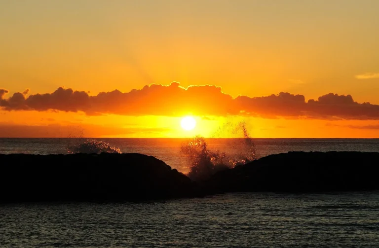
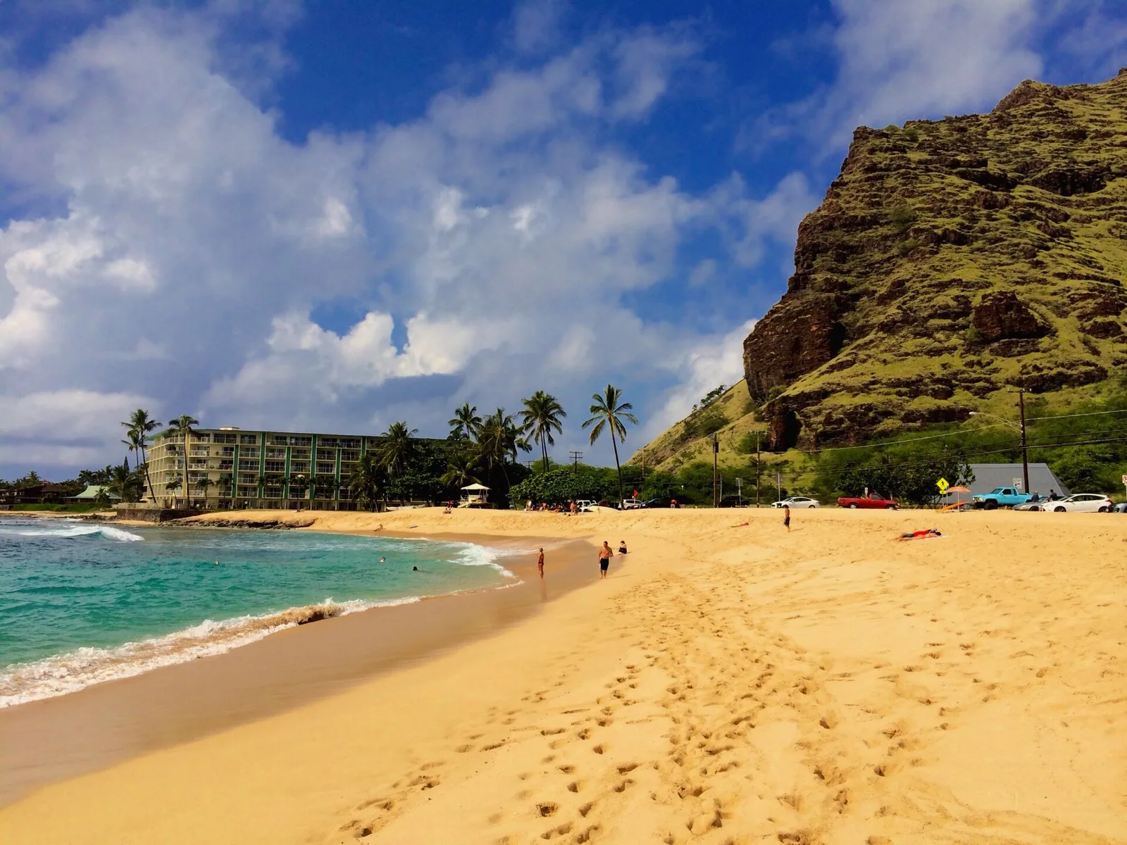
The Waiʻanae Coast, on Oʻahu’s leeward west side, is the island’s most rural stretch of coast and home to its largest concentration of Native Hawaiian families, including several Hawaiian Home Lands communities. The mountains are dry and dramatic, the beaches wide and golden, and the sunsets the best on the island. Mākaha Beach is a legendary surf spot with big winter waves; in summer, it is often calm. Pōkaʻī Bay in Waiʻanae, protected by a breakwater, is one of the safest swimming beaches on the island. The road ends near Kaʻena Point, part of which remained closed after Hurricane Lowell.
Visit with care. This is not a tourist area, and many residents are wary of visitors who treat it as one. Swim at lifeguarded beaches, spend money at local businesses, and do not photograph people or homes without asking. Beach parks along this coast have a long-standing problem with car break-ins, so leave nothing in the car. Some beaches have encampments of houseless families; be respectful. Farrington Highway is the only road in and out, and traffic can be heavy at rush hour.
Cost: free · Bus: Route 93 Waiʻanae Coast Express to downtown; local routes along the coast · Allow: 50–60 minutes’ drive each way, half a day to a full day
The North Shore and the north-east
Haleʻiwa and the North Shore
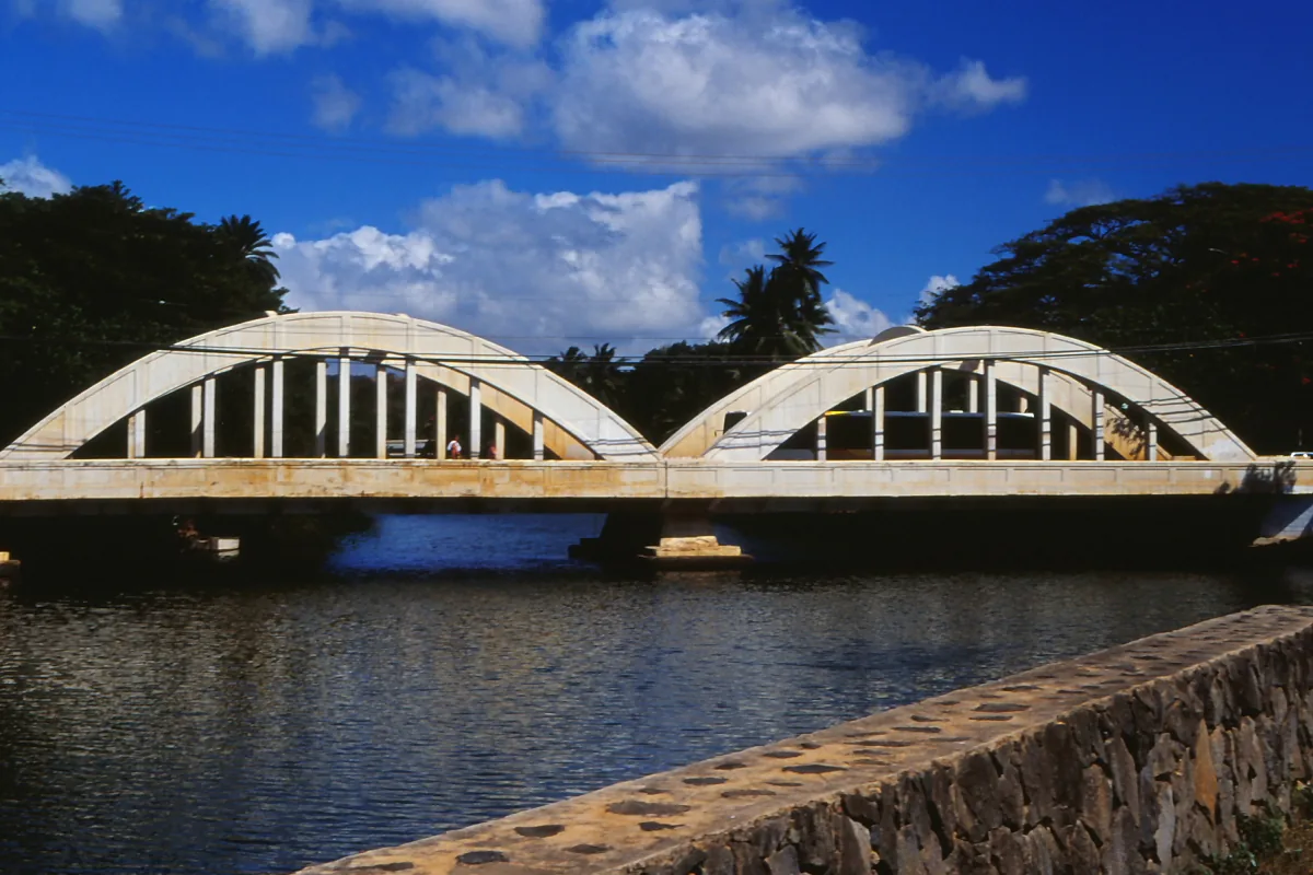
Haleʻiwa is the North Shore’s historic surf town, with wooden storefronts, galleries, surf shops, shrimp trucks and Matsumoto Shave Ice (10am to 6pm). Beyond it, Kamehameha Highway runs past Waimea Bay, Sharks Cove, the Banzai Pipeline and Sunset Beach, famous for winter surf and calm summer snorkelling. The Haleʻiwa Farmers Market runs on Thursdays from 3pm to 7pm. Turtle Bay, at the northern tip, is resort-zoned, so it is one of the few places outside Waikīkī and Ko Olina with legal short stays. Our North Shore guide covers the stops in driving order.
Cost: free; shave ice and shrimp trucks $ · Hours: Haleʻiwa Farmers Market Thu 3pm–7pm · Bus: Route 60 from Ala Moana, about 1 hour 15 minutes · Allow: a full day
Lāʻie, Hauʻula and Kahuku
On the north-east coast, Lāʻie is a small town centred on Brigham Young University–Hawaiʻi, the Laie Hawaii Temple and the Polynesian Cultural Center, which is open from 12pm to 9pm and closed on Sundays and Wednesdays. Kahuku, just north, is a former sugar town known for its roadside shrimp trucks, where a garlic shrimp plate at Giovanni’s costs $14, and for its farms. Hauʻula, to the south, is a quiet village with the Hauʻula Loop trail in the hills above. The coast here is largely rural and beautiful, and Kamehameha Highway is narrow and slow.
Cost: Polynesian Cultural Center $94.95 · Hours: PCC 12pm–9pm, closed Sun and Wed · Bus: Route 60 · Allow: a full day with the North Shore
The windward coast
Kāneʻohe
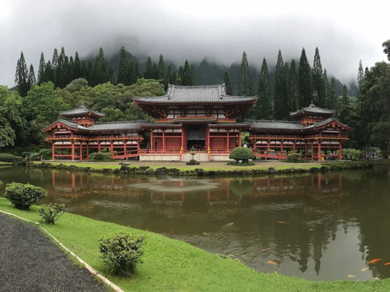
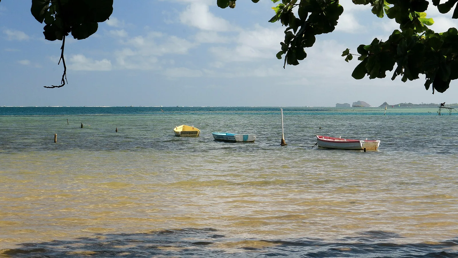
Kāneʻohe is the largest town on the windward side, spread along the shore of Kāneʻohe Bay beneath the sheer, fluted cliffs of the Koʻolau. It is suburban, green and often rainy. Byodo-In Temple, a replica of a Japanese Buddhist temple in the Valley of the Temples, costs $10 and is open from 8:30am to 4:30pm. Hoʻomaluhia Botanical Garden is free, open from 9am to 4pm and closed on Thursdays. Sandbar tours cross Kāneʻohe Bay to Ahu o Laka, and at Heʻeia, community groups care for an ancient fishpond and restored taro fields.
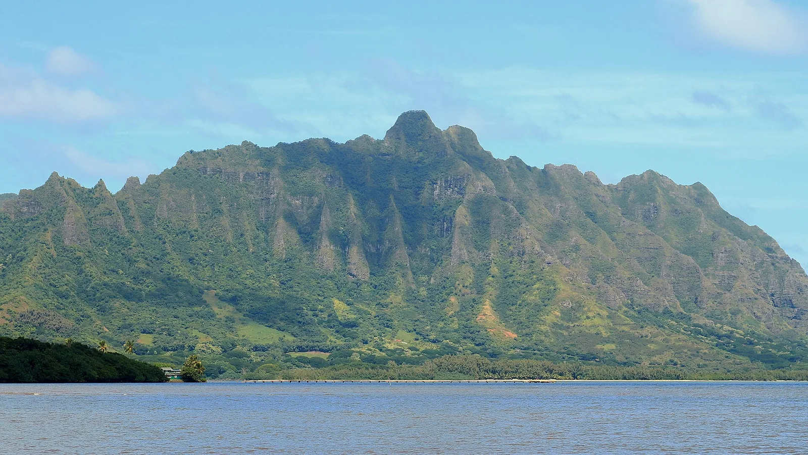
Cost: Byodo-In $10; Hoʻomaluhia free · Hours: Byodo-In 8:30am–4:30pm; Hoʻomaluhia 9am–4pm, closed Thu · Bus: windward routes via the Pali or Likelike highways; driving is easier · Allow: half a day
Kailua and Lanikai
Kailua is a relaxed beach town with a walkable centre of shops and cafés, and Kailua Beach, one of the most beautiful on the island, with soft sand, turquoise water and views of the offshore islets. Kayaks can be rented to paddle to the Mokulua islets (single kayaks $74 for a half day; landing on Moku Nui requires a $3 state permit and is allowed Monday to Saturday only; Moku Iki is always off-limits).
Lanikai, next door, is a small, exclusive enclave with a famous beach and the Lanikai Pillbox hike. Since July 2026, parking has been banned all day on Mokulua Drive and ʻAʻalapapa Drive, with restrictions on cross streets and active ticketing and towing. Park free at the Kailua Beach Park boat-ramp car park and walk ten to fifteen minutes. Lanikai is a residential neighbourhood; keep noise down.
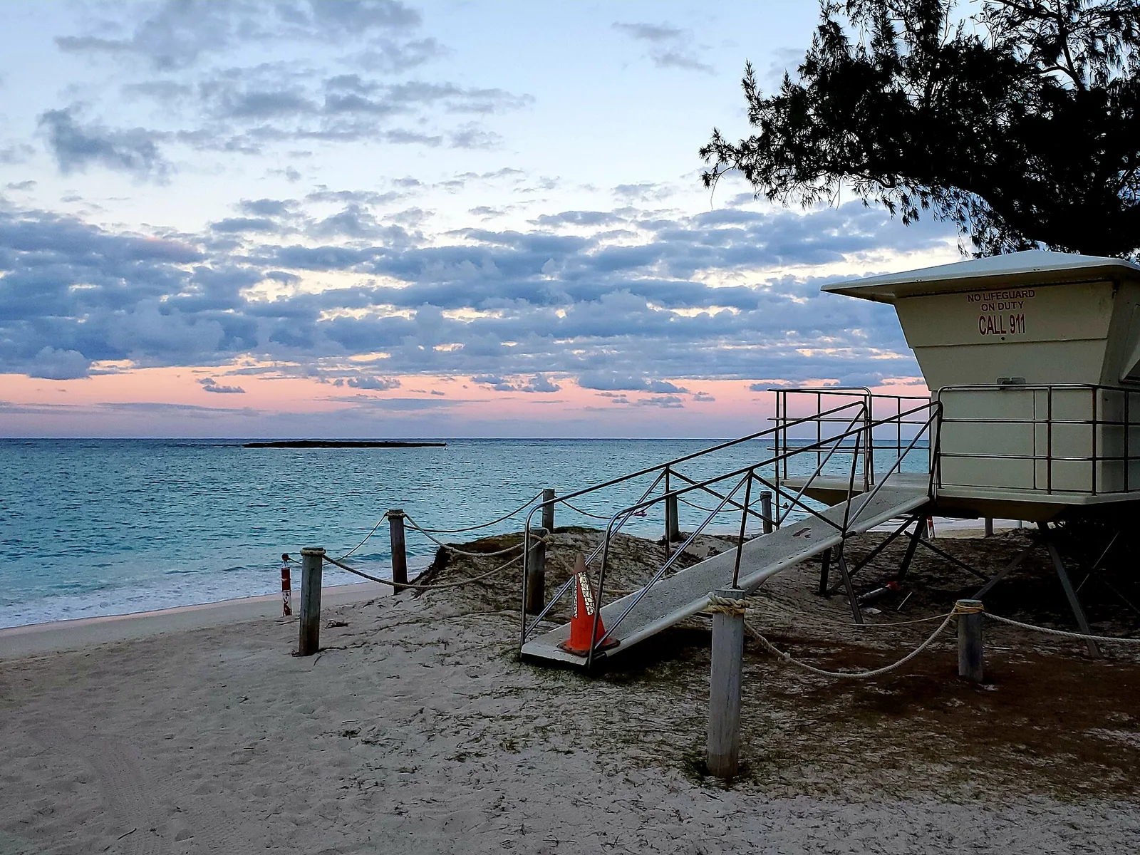
Cost: free; kayak $74 half day; Moku Nui permit $3 · Hours: lifeguards 8am–6:30pm · Bus: Route 67 from Ala Moana to Kailua · Allow: a full day
Waimānalo
Between Kailua and Makapuʻu, Waimānalo is a rural community of farms, plant nurseries and Hawaiian homestead land, beneath the dramatic cliffs of the Koʻolau. Waimānalo Bay Beach Park has one of the longest continuous white-sand beaches on Oʻahu, and Bellows Field Beach Park, on military land, is open to the public at weekends and on holidays. Look for roadside farm stands and local food. It is a place to slow down, and a place where residents have strong feelings about protecting their community from overdevelopment.
Cost: free · Bus: windward routes via Kailua; driving is easier · Allow: 2 hours to half a day
Honolulu neighborhoods for different travellers
First-time visitors without a car: stay in Waikīkī, and use buses to explore Kapahulu, Kaimukī, Ala Moana, Chinatown and Mānoa.
Food lovers: Kapahulu and Kaimukī first, then Chinatown for dinner, Kalihi and Liliha for Hawaiian food and bakeries, and Mōʻiliʻili for cheap eats.
History and culture: downtown and Chinatown, Kalihi for the Bishop Museum, Nuʻuanu for Queen Emma Summer Palace, Waipahu for plantation history, and a respectful visit to the Waiʻanae Coast.
Families: Ko Olina for a resort base, Ala Moana Beach Park and Kailua for gentle beaches, Kāneʻohe for the temple and gardens.
Beach lovers: Kailua and Waimānalo on the windward side, the North Shore in summer, the Waiʻanae Coast for sunsets.
Hikers: East Honolulu’s ridge trails, Mānoa and Tantalus, and Moanalua Valley.
Surfers: Waikīkī for learning, the North Shore and Mākaha in winter for watching the best.
How Honolulu grew into its neighbourhoods
Honolulu means “sheltered bay”, and the city grew from the harbour where Nuʻuanu Stream meets the sea. Before Western contact, the land that is now Honolulu was divided into ahupuaʻa, land divisions running from the mountains to the ocean, each named and farmed: Waikīkī, Mānoa, Kapālama, Kalihi, Moanalua. Many of today’s neighbourhood names are those same ahupuaʻa names, which is why they so often describe a valley and the shore below it.
In the early nineteenth century, the harbour made Honolulu the busiest port in the islands, filled with whaling and trading ships. King Kamehameha III moved the kingdom’s capital here from Lahaina in 1845. Chinatown grew up beside the waterfront as Chinese workers left the plantations and opened businesses, and burned twice, in 1886 and 1900, before being rebuilt in the brick and stone you see today.
Beyond the city, sugar and pineapple plantations shaped towns such as Waipahu, ʻEwa, Wahiawā, Kahuku and Waialua, each with its camps of Japanese, Chinese, Portuguese, Filipino, Korean and Puerto Rican workers. Their shared lunches, languages and customs became the local culture that defines Hawaiʻi today.
Waikīkī itself was transformed in the 1920s, when the Ala Wai Canal was dug to drain its wetlands, taro fields and fishponds, making way for hotels. After statehood in 1959 and the arrival of jet travel, towers rose along its beach, and suburbs spread across the ʻEwa plain, over the ridges of East Honolulu and through the windward valleys. Kapolei was planned as a second city in the 1970s and 1980s, and Skyline rail, opening in stages since 2023, is the latest chapter in how people move between these places.
Neighbourhood day plans
Honolulu food and history
Breakfast of malasadas at Leonard’s on Kapahulu Avenue, then take Route 13 to Chinatown to walk the markets while they are busiest. At 9am, join a docent tour of ʻIolani Palace, booked in advance. Have lunch in Chinatown, visit the free Hawaiʻi State Art Museum, and spend the late afternoon at Kakaʻako’s murals and waterfront park for sunset. Finish with dinner in Kaimukī.
Windward beaches and small towns
Drive over the Pali Highway, checking first whether the Nuʻuanu Pali Lookout has reopened after Hurricane Lowell, to Kailua. Park at the Kailua Beach Park boat ramp, swim, and kayak towards the Mokulua islets if you have booked a rental. Have lunch in Kailua town, then drive south to Waimānalo for farm stands and an afternoon on its long beach, returning to Honolulu via Makapuʻu and Hawaiʻi Kai.
West side, history to sunset
Start at Pearl Harbor with an early USS Arizona reservation. Drive or take Skyline to Waipahu for Hawaiʻi’s Plantation Village, then continue to Ko Olina for an afternoon swim in the lagoons. In the late afternoon, drive up the Waiʻanae Coast for a quiet sunset at Pōkaʻī Bay or Mākaha, and head back to town after the rush hour has cleared.
Central Oʻahu to the North Shore
Drive north through Mililani and Wahiawā, stopping briefly at Dole Plantation, to Haleʻiwa for breakfast. In summer, snorkel at Sharks Cove; in winter, watch the surf at Waimea Bay and Sunset Beach from a safe distance. Have garlic shrimp in Kahuku, visit the Polynesian Cultural Center in Lāʻie in the afternoon (not on a Sunday or Wednesday), and return along the windward coast past Kualoa and Kāneʻohe.
Getting around between neighbourhoods
Oʻahu is the only Hawaiian island where a car-free trip genuinely works. TheBus and Skyline rail reach every area in this guide, although some rural routes are slow and infrequent. The Skyline line runs from Kualakaʻi in East Kapolei to Kahauiki near Kalihi, with a station at the airport, and connects with buses at Pearl City, Waipahu and Kalihi. Downtown and Kakaʻako stations are not expected to open until 2031.
Many visitors combine buses with a rental car for two or three “drive the island” days, typically one for the windward coast and North Shore, and one for the west side. Rideshares are easy within Honolulu. Traffic is the big variable: avoid the H-1 freeway between the west side and town at rush hour. Our getting around Oʻahu guide explains routes, fares and the HOLO card in detail, and our things to do on Oʻahu guide shows how to fit neighbourhoods into your days.
Staying safe and being a good guest
Car break-ins. Property crime targeting rental cars is the most common problem for visitors. Leave nothing visible or in the boot at beach parks, lookouts and trailheads, especially on the west side, the North Shore and in quiet windward spots.
Ocean safety. Drowning is the leading cause of injury death among visitors to Hawaiʻi. Swim at lifeguarded beaches; Honolulu’s Ocean Safety Department staffs 44 towers from 8am to 6:30pm daily. Sandy Beach, Mākaha in winter and North Shore beaches in winter are for experts only.
Homelessness. Oʻahu has a serious housing crisis, and you will see houseless people in Chinatown, parks and some beaches. Treat people with the same respect you would anywhere.
Residential streets. Many trailheads and beaches sit at the end of quiet residential streets. Park legally, do not block driveways, keep noise down early and late, and take your rubbish with you.
Private and sacred places. Kapu and no-trespassing signs mean do not enter. Do not geotag places that residents have kept deliberately quiet.
For the sights themselves, see our guide to Honolulu’s 40 best attractions, from ʻIolani Palace and the Bishop Museum to Mānoa Falls and Makapuʻu.
Frequently Asked Questions
What are the best Honolulu neighborhoods to visit beyond Waikiki?
Kapahulu and Kaimukī are the best for food and are a short bus ride from Waikīkī. Chinatown and downtown have the most history, including ʻIolani Palace, and the best evening dining. Mānoa has rainforest walks and the university. Ala Moana has the island’s biggest mall and a family beach park. Kalihi has the Bishop Museum and some of Honolulu’s best Hawaiian food.
Is Waikiki part of Honolulu?
Yes. Waikīkī is a neighbourhood of the city of Honolulu, about three miles east of downtown. In fact, the City and County of Honolulu covers the entire island of Oʻahu, so towns such as Kailua, Kapolei and Haleʻiwa are also technically within it. Most people use “Honolulu” to mean the urban area along the south shore, from the airport to Hawaiʻi Kai.
Can I rent a vacation home in Kailua or on the North Shore?
Only in limited cases. On Oʻahu, rentals shorter than 30 days are legal only in resort-zoned areas, mainly Waikīkī, Ko Olina and Turtle Bay, and in properties that hold a Nonconforming Use Certificate. Many listings in Kailua, Lanikai and the North Shore are illegal. Check for a valid certificate, or book a stay of 30 days or more.
Which Oahu town is best for a quieter stay?
For a quiet base with legal accommodation, Ko Olina on the west side and Turtle Bay on the North Shore are resort-zoned and much calmer than Waikīkī. Both are 40 to 60 minutes from Honolulu without traffic, so you will need a car. For day visits, Kailua, Waimānalo and Haleʻiwa give the most relaxed small-town feel on the island.
Are there neighborhoods in Honolulu visitors should avoid?
There are no neighbourhoods visitors need to avoid entirely, but use normal city sense. Stick to busy, lit streets in Chinatown late at night, and do not leave anything in parked cars, especially at beach parks and trailheads on the west side and North Shore. The Waiʻanae Coast is a rural residential community; visit respectfully and support local businesses.
How do I get from Waikiki to other neighborhoods without a car?
TheBus reaches almost every neighbourhood for $3.25 a ride, capped at $7.50 a day with a HOLO card. Route 13 serves Kapahulu, downtown and Liliha; Route 2 serves Kaimukī’s community college, downtown and Kalihi; Route 5 goes to Mānoa; Route 67 to Kailua; and Route 60 to the North Shore. Skyline rail links the airport, Pearl City, Waipahu and Kapolei.
Photo Credits
- Map of Honolulu neighbourhoods and Oʻahu towns: honolulutourism.org, coastline data © OpenStreetMap contributors (ODbL)
- Waikīkī at dusk: Daderot, public domain
- Wo Fat building, Chinatown: Joel Bradshaw, public domain
- Mānoa Valley from the ridge: Sdkb, CC BY-SA 4.0
- Ocean View Drive, Kaimukī: Achaikon, CC BY-SA 4.0
- Hawaiʻi Kai Marina: Matt Kieffer, CC BY-SA 2.0
- Mākaha Beach Park: Nicolai Edgar Andersen, CC BY-SA 4.0
- Anahulu bridge, Haleʻiwa: rjones0856, CC BY 2.0
- Kāneʻohe Bay and Kualoa ridge: Robert Linsdell, CC BY 2.0
- Kailua Beach: HelgaVonSlapya, CC BY-SA 4.0
- Kāneʻohe Bay (featured image): Robert Linsdell, CC BY 2.0